
What Public Sources Show About McKinney Neighbors
A neighbor page should describe a block through parcels and boundaries, not build a people list. The City of McKinney GIS can locate the target address and surrounding geometry. CCAD can provide tax-account context for each parcel. A recognized group page can help locate a neighborhood boundary and city contact, but it is not a membership list. Historical sources can explain how a block changed over time. Each source has a different scope, so preserve the source date and label the result by its actual function.
| Block source | What it can show around an address | Access and limit |
|---|---|---|
| City address and parcel GIS | Address point, parcel polygon, ZIP, city limits, ETJ, and nearby parcel geometry. | Open map service; geography is not a social connection. |
| CCAD property account | Property and geographic IDs, displayed owner or mailing fields, situs, legal description, and tax-year context. | Open property search; ownership does not establish occupancy. |
| County Clerk land record | Recorded legal descriptions, instruments, and a dated chain for a particular parcel. | Official-record index; online results are not the official repository. |
| Neighborhood Association route | Recognized group information, boundary questions, liaison services, and civic resources. | Voluntary groups with overlapping boundaries; no general membership roster. |
| Historic directories and maps | Dated street order, lot context, and structure history for an older block. | Snapshots from particular editions or map years. |
These records can point to a parcel or a dated address mention. They should not be used to infer who currently occupies a property or whether people who live nearby know one another. The map selection rule is the useful result: identify an address, choose shared-edge or frontage parcels, and say what was included.
Define a McKinney Block Before Searching for Neighbors
“Neighbor” has several geographic meanings. A shared-edge parcel touches the target parcel boundary. A same-block parcel may sit between the same cross streets even when it does not touch. Same street frontage follows the road rather than the parcel edge. Same ZIP uses postal geography, while a recognized neighborhood follows a voluntary group’s boundary. These categories can overlap, but they are not interchangeable. A cul-de-sac parcel may share a boundary while using a different street, and a corner lot may appear on two street segments.
Write the selection method before reading any record. State whether public rights-of-way, alleys, parking tracts, multi-parcel buildings, or frontage-only lots are included. This produces a reproducible McKinney neighbors map and avoids turning a visual proximity into a claim of a personal relationship. It is especially important near the ETJ, where a McKinney postal label can sit outside city limits, or where an association boundary overlaps another group.
Map McKinney Neighbors Through Adjacent Parcels
The city’s address and boundary layers provide the map portion of the workflow. Layer 0 is Address, layer 1 is Parcel, layer 5 is ZIP Codes, layer 6 is City Limits, and layer 7 is ETJ. Use a targeted query rather than a broad download because the service has a 2,000-record maximum. A city map is not the complete county parcel universe, so an outlying parcel can require county or ETJ context even when the nearby postal city says McKinney.
- Open the McKinney Addresses and Boundaries MapServer and locate the target address.
- Select its parcel geometry, then identify polygons that share an edge or the defined street frontage. Inspect the map visually for slivers, alleys, and rights-of-way.
- Copy the parcel IDs for only the selected polygons and note ZIP, city-limit, and ETJ layers as separate geographic fields.
- Inspect each selected ID in CCAD, keeping the account’s legal description, situs, mailing distinction, tax year, and source date.
- When the question expands to an entire named road, use the McKinney street directory for the longer address-to-deed workflow.
Open the McKinney address and boundary GIS service to see the layer list and targeted-query context.
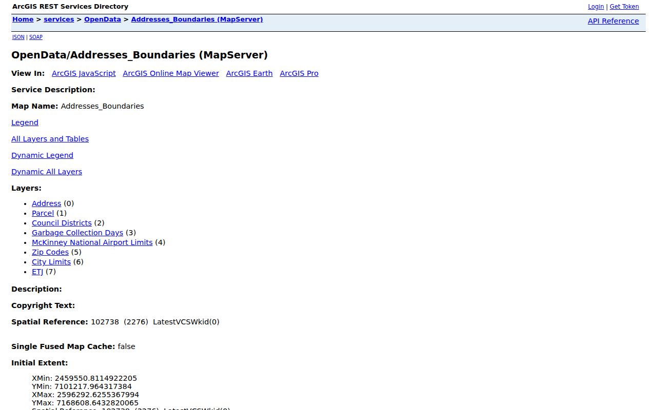
The map supplies the geographic selection. It does not prove that every property owner is a current neighbor, resident, or member of a local group.
Compare CCAD Parcel Cards Without Inferring Occupancy
For each selected parcel, CCAD is the current metadata check. Its search form allows owner and address searching and includes property ID, geographic ID, property type, subdivision, tax year, neighborhood, and legal-description fields. The search hints recommend simplifying a street name and omitting suffix, prefix, or unit details if needed. Preserve the original address alongside the simplified search form, particularly when comparing a printed directory or a prior recorded instrument.
A useful block worksheet records the original address string, normalized address, city GIS layer, ZIP, city-limit or ETJ result, parcel ID, legal description, latest deed reference, historic-directory year, and source date. It may include the displayed owner field only when needed to understand the public tax-account record, but it should not turn that field into a claim about who lives there. CCAD’s mailing and situs values mean different things, and a legal description may survive a street-number change or a parcel split.
If a deed reference appears on the card, use it to search the County Clerk rather than starting again with a broad name. Compare the legal description from both systems. When they disagree, record the tax year, note any boundary or description change, and ask the relevant custodian to resolve an important discrepancy. The map plus parcel ID is stronger than a nearby street line alone.
Find a Recognized McKinney Neighborhood Boundary
The City of McKinney does not officially approve or sanction neighborhood groups, but it recognizes voluntary resident, business, and church groups that meet the city’s program requirements. Boundaries can overlap. A recognized group registers officers, maintains inclusive boundaries, holds an annual meeting or election, has bylaws and an annual social event, attends quarterly leader meetings, and updates its information annually. Those criteria describe a civic relationship with the city, not a complete directory of people in a neighborhood.
| City-recognized group feature | What it helps a block researcher do | What it does not establish |
|---|---|---|
| Inclusive registered boundary | Ask which voluntary group map applies to an address. | That every address has only one group label. |
| Registered officers and annual updates | Find an official contact route for a boundary question. | A roster of all people on the block. |
| City liaison and leader meetings | Connect a group with city engagement resources. | City sponsorship or approval of every group activity. |
| Training, newsletter, trailer, and grant | Identify program benefits available to recognized groups. | A map of individual participation. |
The city lists a liaison, newsletter, training, a block-party trailer, and a grant of up to $1,500 per fiscal year among the benefits. Use the McKinney Neighborhood Associations page to ask which boundary or contact is appropriate, while remembering that membership is not published as a general city roster.
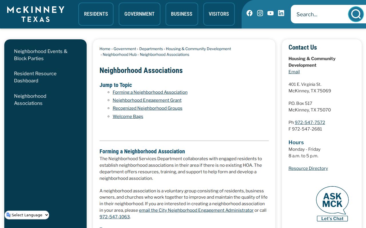
The association resource is a route to civic context and boundary questions, not evidence about every household near an address.
Use the McKinney Neighborhood Hub for Local Services
The McKinney Neighborhood Hub is useful after the map establishes the address. It can direct a resident to HOA or neighborhood-group context, council district, neighborhood police or code officer, school district, trash information, and watering information. This is a practical civic layer that complements a parcel map, but it does not certify a person’s presence at an address or provide a general group-member list. Neighborhood Engagement can be reached at 972-547-1063 for help locating the appropriate resource.
Use the hub’s answer as an address-specific service result, then preserve its date. Council, school, collection, watering, and group boundaries are administrative data that can change without a parcel changing hands. Keep these categories in separate columns from land-record and historic evidence so a service assignment is not mistaken for ownership, residency, or social membership.
View the McKinney Neighborhood Hub that gathers these address-focused service categories.
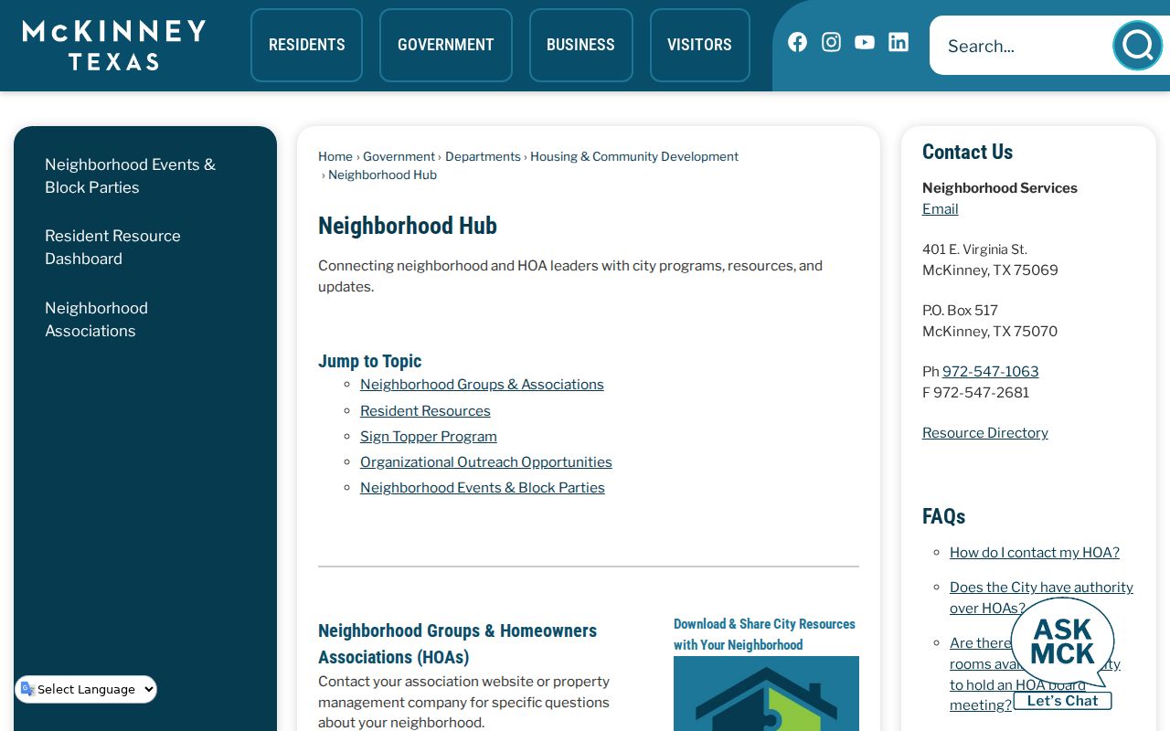
Use the hub to connect a place with the right public service or recognized group, not to draw conclusions about people who may be nearby.
Comparison Official Parcel Records and Commercial Neighbor Tools
Official sources and commercial neighbor-lookup tools answer different questions. City GIS, CCAD, the County Clerk, and the Neighborhood Hub identify their custodian, record type, and geographic or administrative purpose. They provide a way to check an address, parcel, boundary, legal description, or recognized-group route. Commercial tools may combine records from many dates and sources, but their match logic, refresh schedule, coverage, and corrections process can be unclear. A result that appears convenient is not a substitute for an identified official source.
For a McKinney neighbors question, start with the official map selection and CCAD parcel identifiers. Use the County Clerk only for a recorded land-history question, and use the group page or hub for civic context. Treat any combined result as a lead to verify, not a fact to repeat. Do not use a map, tax account, directory, or commercial listing to contact, watch, or pressure another person.
Place a Historic McKinney Block in Its Own Time
Historic block research benefits from comparing the present parcel map with sources created closer to the period in question. The Texas Historical Commission’s McKinney Residential Historic District is roughly bounded by W. Lamar, N. Benge, W. Louisiana, and N. Oak. It has 115 structures, 91 of them contributing. The 2023 city survey, published in 2024, also highlights East McKinney’s Black and Hispanic legacy communities, Old Settlers Cemetery, Ross Cemetery, historic buildings, and areas needing further research. These are place and history clues, not a method for identifying living people.
For a historic block, compare the 1933 street-address directory, the 1888 or 1892 Sanborn map, and the current parcel geometry. A lot may have been divided, combined, renumbered, demolished, or given a changed street form. Record the map year, directory edition, parcel ID, and selection rule. That preserves the difference between a historic house, an old street mention, and the present-day parcel.
Consult the Texas Historical Commission McKinney district atlas for the historic-district context.
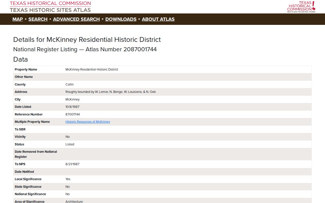
The atlas can anchor an historic-place comparison, while the city GIS and CCAD systems supply the current geographic and tax-account layers.
Privacy Limits for a McKinney Neighbor Lookup
Texas public-information rules include important exceptions. Government Code Chapter 552 protects several sensitive categories, and Texas Election Code rules restrict sensitive voter identifiers and prohibit using purchased voter lists for commercial advertising or promoting products or services. A public voter record is a dated registration record, not an occupancy file. The Texas Address Confidentiality Program provides a substitute-address and mail-forwarding system for qualifying participants, and protected residences must not be copied from an image or pursued through another source.
Keep the minimum information needed to explain a place: source URL, custodian, search date, record type, parcel or case identifier, coverage, and any gap. Do not publish full dates of birth, identification numbers, personal email, phone numbers, protected home addresses, or details that a custodian has redacted. Do not treat an owner, mailing recipient, voter registrant, permit contact, or historical-directory mention as a current occupant.
Lawful use. McKinney neighbor research is for getting to know a block’s geography, family-history work, civic questions, and confirming a source with its custodian. Never use it to stalk, harass, threaten, or harm anyone.