
McKinney ZIP Code Directory Coverage
The official City of McKinney map dated October 16, 2024 places five ZIP labels in a map that includes city limits and extraterritorial jurisdiction, or ETJ. The official Collin County map labels four of those as McKinney ZIPs and associates the fifth, 75454, with Melissa. The table preserves that geographic context without converting a postal code into a municipal boundary. Use the exact address, the city-limit layer, and the postal result when a location sits near an edge.
| ZIP code | Areas covered | Postal check | Notes |
|---|---|---|---|
| 75069 | Shown for McKinney by the city and county maps | USPS lookup for the exact delivery address | Confirm city-limit or ETJ status and parcel. |
| 75070 | Shown for McKinney by the city and county maps | USPS lookup for the exact delivery address | Older records may use a different postal label. |
| 75071 | Shown for McKinney by the city and county maps | USPS lookup for the exact delivery address | Northern and edge geography still need a parcel or limit check. |
| 75072 | Shown for McKinney on official maps | USPS lookup for the exact delivery address | Created from part of the 75070 delivery area in 2018. |
| 75454 | Appears in city or ETJ context; county map associates it with Melissa | USPS lookup for the exact delivery address | Do not label every address in this ZIP as inside McKinney. |
The table is a McKinney ZIP code directory of map context, not a promise of a local post-office location or delivery assignment. USPS determines standardized mailing output for a specific address. The city and county maps provide a broader geographic check. A result can be postal-correct while still falling outside McKinney city limits.
Read McKinney ZIP Code Map Layers
McKinney's REST Addresses and Boundaries service separates the geographic layers that a ZIP label can hide. Layer 5 is the ZIP layer and carries ZIP_NAME and ZIP_NO fields. Layer 6 is city limits, and Layer 7 is ETJ. The address and parcel layers add location context. Read these together: a ZIP polygon shows an area, a city-limit polygon shows municipal geography, and an address point identifies a mapped address. The service supports query and map comparison, with a 2,000-record maximum reported for service layers.
The City GIS ZIP layer is the official source for the ZIP fields and mapped polygon.
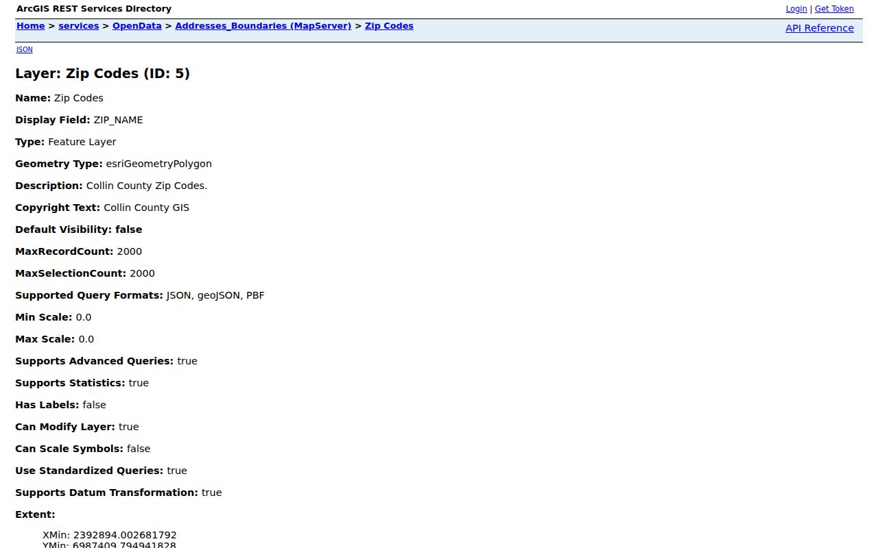
Compare the displayed ZIP layer with city limits and ETJ before attaching a municipal label to an address.
McKinney ZIP Code History 75072
ZIP 75072 took effect on July 1, 2018. The USPS announcement attributes the change to rapid growth and says 18,676 residential and 158 business delivery addresses formerly in the 75070 area were affected. Those figures are historical delivery-service figures, not a current population count. A document created before the change can therefore carry 75070 even when the same place is now standardized differently. Older directories, deeds, tax records, and newspapers may also lack a ZIP entirely.
The USPS 2018 75072 release supplies the effective date and the affected-address count.
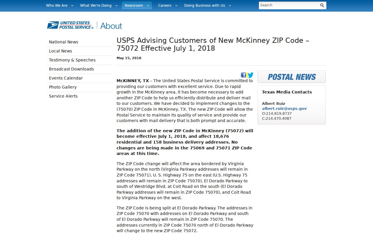
Keep the date of the source beside a ZIP result so the postal history remains visible instead of looking like a record error.
McKinney ZIP Code Edge at 75454
ZIP 75454 is the clearest local example of why the McKinney ZIP code directory needs a boundary note. The City of McKinney map includes it in McKinney or ETJ context, while the Collin County ZIP map associates 75454 with Melissa. Those maps are not in conflict. They describe different geographic context around an area whose postal city and municipal city can differ. A McKinney-facing research note should say which source supplied the ZIP, which source supplied city-limit or ETJ status, and when each was checked.
The official city ZIP map and the Collin County ZIP map are the appropriate paired sources. A parcel or city-limit result is needed before stating that a 75454 address lies in McKinney.
Record boundary. A ZIP does not equal a city boundary. A postal city, city limits, ETJ, parcel situs, and mailing address can all differ for the same location.
Find McKinney ZIP Code Delivery Data
The USPS ZIP Code Lookup is the standardization check for a full street address. It returns a standardized mailing format, but it does not prove ownership or city-boundary status. Use it after retaining the address as originally written. For an older source, record both the printed address and the standardized present-day result rather than overwriting the historical line. That preserves a change in ZIP, street spelling, or postal city as evidence instead of hiding it.
The USPS address-to-ZIP lookup is shown here as the delivery-standardization source.
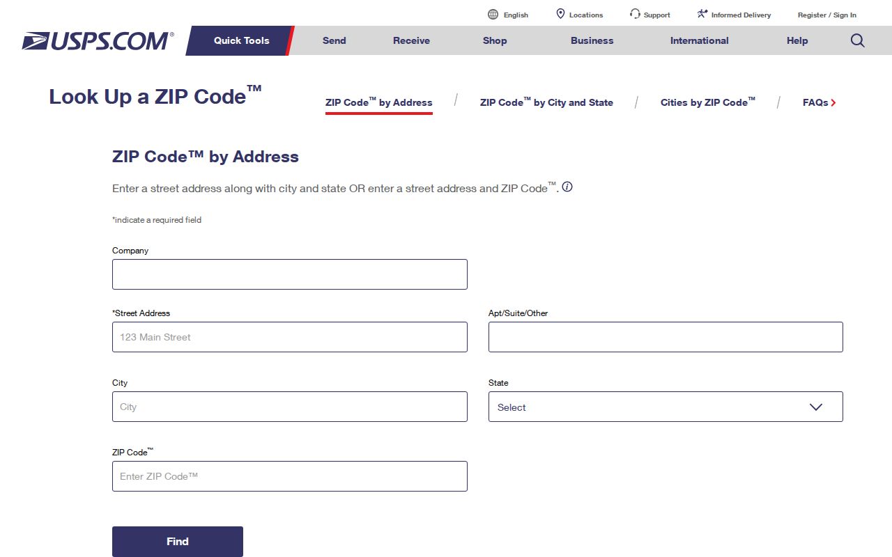
Use the standardized mailing output beside, not instead of, the City GIS city-limit and ETJ result.
Keep McKinney ZIP Code Fields Separate
Official forms and local records use address fields for different purposes. A voter registration form requires a residence street address or an allowed location description, while a mailing address is separate. The VS-140 birth form separates street, city, state, and ZIP from an alternate shipping address. CCAD has mailing fields such as addr_line and addr_city/state/zip, while its situs data includes the taxable location. Combining those fields into one unmarked address can create a false McKinney ZIP code match.
| Field | What it represents | Why it stays separate |
|---|---|---|
| Postal ZIP | An operational delivery area | It does not establish city limits or ownership. |
| Postal city | A mailing convention | It can differ from the municipal city. |
| City limits and ETJ | Municipal and planning geography | Check the relevant city GIS layer. |
| Situs address | The taxable property location | It differs from an address that receives notices. |
| Mailing address | The address for notices or correspondence | It does not establish a taxable location or residence. |
| Legal description | The land identifier in a recorded instrument | It can remain useful when a street line changes. |
Note: Preserve each field exactly as the source supplies it, then add a source date and a separate interpretation field for any comparison.
Search McKinney by ZIP Code
ZIPs can narrow a geographic question, but they do not produce a verified roster of McKinney residents. A sound ZIP-based search begins with the exact address and proceeds through delivery and geography. When a parcel or address needs street-level records, move from the ZIP result to the relevant city or county custodian. The McKinney street address directory follows that address-focused route in more detail.
- Keep the original address string and the date on the source that supplied it.
- Run the full address through USPS and save the standardized city and ZIP result.
- Check the McKinney GIS ZIP polygon, city-limits layer, ETJ layer, address point, and parcel context.
- Compare the city map with the Collin County ZIP map for regional context, especially near 75454.
- For a property question, use the parcel or legal identifier with CCAD or the County Clerk rather than treating a ZIP as an ownership key.
City GIS, USPS, and county records should be cited separately because they answer different questions. This keeps a ZIP-wide research list from implying that every record shares the same municipal status.
Compare McKinney ZIP Code Boundaries
McKinney ZIP code boundaries can cross neighborhoods, precincts, school areas, and city limits. A voter precinct can change without a ZIP change. An annexation can change municipal context without changing the postal city. A ZIP adjustment can change a mailing line without changing the parcel. For an address near an edge, capture the map title and date, the ZIP polygon, the address point, the city-limits and ETJ overlays, the standardized USPS result, and a short discrepancy note.
The Census QuickFacts geographic context is useful for keeping a city-level geographic source distinct from a ZIP map.
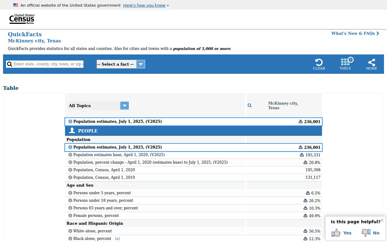
The city-level context shown there cannot assign a ZIP or settle an address-level city-limit question, so pair it with GIS and USPS evidence.
McKinney ZIP Code Terms
Postal labels have a narrower role than local boundary data. The terminology below helps keep a research note readable without claiming that McKinney has a particular box-only or unique ZIP. Use a specific official source before applying any term to a local address.
- ZIP
- The postal delivery-area code used with a mailing address. It is not a city boundary, parcel identifier, or ownership field.
- ZIP+4
- The added four digits used with a ZIP in a more specific mailing format. It is still postal information, not municipal geography.
- PO Box ZIP
- A ZIP used for box delivery rather than a claim about every street-delivery address. No local box-only ZIP is asserted here.
- Unique ZIP
- A ZIP that may serve one organization or delivery arrangement. No McKinney unique ZIP is asserted here.
- Carrier route
- A postal delivery-route designation that can organize delivery within an area. It does not establish a city-limit boundary.
Older records may show no ZIP because the document predated the relevant postal convention or because the source did not print one. That omission calls for the original address, map, parcel, and source date, not an invented replacement.
McKinney ZIP Verification Tip
For an edge-case record, use a three-part comparison: USPS for delivery standardization, City GIS for ZIP and municipal layers, and the county map for regional postal context. Record the address as printed, the USPS standardized address, postal city, ZIP, city-limit result, ETJ result, parcel identifier, and date checked. This exposes a mismatch as useful geographic information rather than treating it as a data error.
City maps are intended for public geographic orientation, not surveying or legal boundary determination. For a legal or transaction question, confirm the result with the parcel, city, or county custodian. A ZIP code directory can organize the search, but it cannot replace the official record that governs the question.